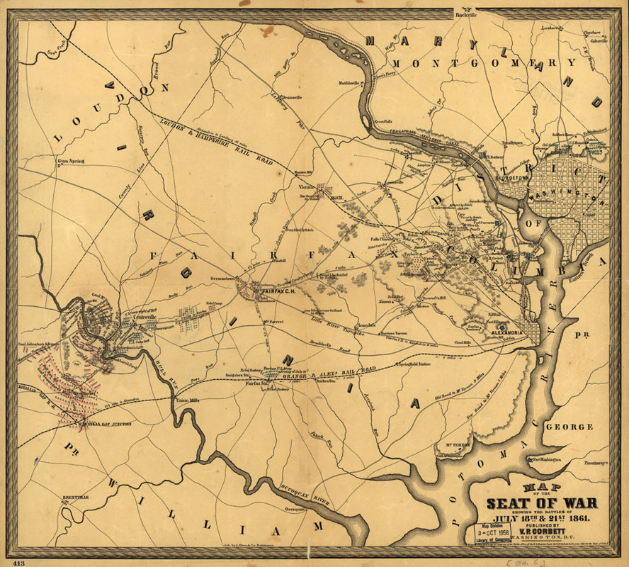
This is the historical map of the first Bull Run. It is drawn by A. Hoen & Co., Baltimore. This map show the July 18th and 21st 1861 Lith. It tells the basic information about the first Bull Run. Some of the places are specific, in the red area. There are many of symbols in this area. This map tells about the location in the US. It is in the Virginia state, and it has two battles in this map. That can indicate that they move to another place to have a new battle. This map tells some specific geography between these two places. Like there is city between these two places and there are some changes of the geology.
Why this map is important?
This map is important because it show that the battle is not a huge battle. It only continued for three days. It is also the first battle during the US civil war, and it shows how both armies’ action during the war.
